
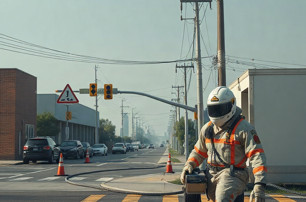
Municipal vulnerability preparedness for local hazards is the process of identifying who and what may be harmed, determining how essential services could fail, and funding actions that reduce the most consequential risks. A useful municipal program combines hazard maps, resident knowledge, infrastructure condition data, and service-dependency analysis rather than relying on past disaster records alone. Priorities should account for exposed populations, evacuation constraints, cascading utility failures, and the time required to restore critical functions. The result should be a maintained project list with responsible departments, realistic costs, funding paths, and measurable indicators—not a static report produced only to satisfy a grant requirement.
What you’ll learn
This guide covers the following practical points:
- Define Local Hazards and Their Consequences — A municipality should define hazards by the consequences they could produce in specific places, not merely by naming events such as flooding, wildfire, extreme heat, severe storms, drought, or coastal erosion.
- Assess People, Assets, and Service Dependencies — Vulnerability assessment should connect exposed people and physical assets to the services on which they depend.
- Rank Risk-Reduction Actions Under Real Constraints — Project ranking should compare avoided disruption, population impact, feasibility, cost, maintenance burden, and implementation time.
- Turn the Assessment Into an Operational Program — An assessment becomes actionable when each priority has an owner, next decision, funding route, and implementation status.
Define Local Hazards and Their Consequences
A municipality should define hazards by the consequences they could produce in specific places, not merely by naming events such as flooding, wildfire, extreme heat, severe storms, drought, or coastal erosion. The useful question is where an event would interrupt housing, transportation, utilities, health services, communications, public safety, or municipal operations.
Local records provide an initial picture, but historical experience has limits. Development may have expanded into exposed areas, drainage capacity may have declined, and a hazard that caused little damage decades ago may now affect more residents and infrastructure. Conversely, a dramatic past event should not automatically outrank a recurring hazard that repeatedly closes roads, strains public works crews, or isolates a neighborhood.
Map both the hazard area and the likely consequences. For a flood-prone corridor, examine road depth, building access, culvert capacity, emergency routes, wastewater components, and facilities serving people who cannot readily relocate. For extreme heat, outdoor temperature alone is insufficient; tree cover, housing conditions, power reliability, cooling access, and resident isolation shape the actual municipal burden.
A common failure is treating jurisdiction-wide risk as uniform. Conditions often change block by block because of elevation, vegetation, building type, pavement, drainage, and access. Use the finest reliable geography available, while acknowledging uncertainty where models or records are incomplete.

Assess People, Assets, and Service Dependencies
Vulnerability assessment should connect exposed people and physical assets to the services on which they depend. An asset inventory that lists only replacement value can miss the operational significance of a modest pump station, bridge approach, dispatch antenna, or single access road.
Begin with facilities, infrastructure, populations, and natural systems that influence municipal continuity. Record asset location, condition, hazard exposure, service area, backup capability, ownership, and known failure points. Resident engagement can then identify conditions absent from formal datasets, including chronically blocked drains, inaccessible warning channels, informal evacuation needs, or streets that become impassable before official thresholds are reached.
Dependency mapping reveals cascading consequences. A water facility may have flood protection yet remain vulnerable if its electrical feed, fuel delivery route, telecommunications link, or operator access fails. A cooling center may appear available on a map but provide little protection if transit stops running, backup power is limited, or operating hours exclude the hottest period.
Use participation methods suited to the people being consulted. Public meetings alone tend to favor residents with flexible schedules, transportation, internet access, and confidence in formal settings. Short interviews through service organizations, accessible surveys, translated materials, neighborhood walks, and meetings at familiar locations may produce a more representative account. Do not publish household-level vulnerability information that could expose private or security-sensitive details.
Rank Risk-Reduction Actions Under Real Constraints
Project ranking should compare avoided disruption, population impact, feasibility, cost, maintenance burden, and implementation time. A costly capital project may address a severe structural weakness, while a lower-cost operating change may protect people sooner. Municipalities generally need a portfolio rather than a single flagship project.
A compact screening method can keep early decisions transparent:
| Decision Factor | Question to Test | Warning Sign |
|---|---|---|
| Consequence | Which essential functions fail if no action is taken? | Scoring relies only on property value. |
| Equity | Who lacks practical alternatives during disruption? | Population averages hide neighborhood conditions. |
| Feasibility | Can the municipality control, permit, and maintain the action? | The proposal depends on an unidentified owner. |
| Durability | Will the measure remain effective as conditions change? | The design uses only a past event as its threshold. |
| Readiness | Are scope, site, cost range, and responsible department known? | The project is only a concept with no next step. |
Consider an illustrative choice between replacing an undersized culvert and installing a warning system for the same road. The warning system may be delivered faster and reduce the chance that drivers enter hazardous water, but it does not preserve access for ambulances or prevent repeated road damage. Culvert replacement may address the physical cause, yet require engineering, permits, land coordination, and more funding. A defensible sequence could deploy temporary warnings while advancing the permanent project.
Avoid scoring methods that create false precision. Numerical rankings are useful only when the criteria, evidence, and judgment behind them remain visible. Test the order against several plausible conditions, including a more intense event, simultaneous utility loss, and limited staffing. If minor scoring changes completely reorder the list, decision-makers should review the assumptions rather than accept the spreadsheet result.
Turn the Assessment Into an Operational Program
An assessment becomes actionable when each priority has an owner, next decision, funding route, and implementation status. Separate near-term operating changes from capital work so inexpensive measures do not wait behind multiyear construction projects.
For every proposed action, document the hazard addressed, location, intended beneficiaries, service protected, lead department, partner organizations, preliminary cost basis, permitting or land needs, maintenance responsibility, and evidence still required. This project record should be detailed enough for budgeting and grant development without pretending that a concept has completed engineering.
Coordination across municipal functions is critical because risk rarely follows departmental boundaries. Planning decisions influence future exposure; public works understands system condition; emergency management sees response constraints; finance tracks debt and grant capacity; procurement affects delivery time; and community organizations understand practical access barriers. Assigning resilience work to one coordinator without departmental commitments often produces recommendations that no operating unit owns.
Funding should follow a sequence of readiness. Some actions can enter an annual maintenance budget, while others require feasibility studies, design, permits, external grants, or regional cooperation. Include the local staff time and future upkeep needed to sustain a project. A sensor network, generator, drainage feature, or warning platform can become unreliable when calibration, fuel rotation, inspection, software, vegetation control, or replacement costs are omitted.
Measure Progress and Update Priorities
Preparedness should be measured by reduced exposure and stronger service continuity, not by the number of meetings held or reports completed. Useful indicators connect municipal activity to an observable condition, such as the number of critical facilities with tested backup power, evacuation routes with identified alternatives, or high-priority drainage sites with assigned maintenance schedules.
Track both delivery and performance. Delivery measures show whether design, permitting, procurement, and construction are moving. Performance measures test whether the completed action functions as intended. After a storm, heat episode, evacuation exercise, or utility outage, compare actual conditions with the assumptions used in the assessment. Unexpected road closures, communication gaps, generator limitations, and uneven service access should trigger revisions.
Set review points around events that materially change risk: infrastructure failure, major development, updated hazard mapping, demographic change, facility closure, or completion of a mitigation project. A routine annual review can update project status and budgets, while a deeper reassessment may be appropriate when exposure or service dependencies change substantially.
Warning signs of a failing program include projects with no department owner, repeated deferral of maintenance, engagement limited to the same participants, and priorities that never change despite new evidence. A functioning program can explain why projects moved, what information changed, which interim protections remain necessary, and where residual risk is still accepted.
Frequently Asked Questions
What should a municipal vulnerability assessment include?
It should connect local hazards with exposed populations, infrastructure condition, essential services, access constraints, interdependent systems, existing protective measures, and feasible risk-reduction projects.
How often should municipal vulnerability priorities be updated?
Review project status and operating assumptions routinely, and reassess priorities after damaging events, major development, infrastructure changes, new hazard information, or meaningful demographic shifts.
How can small municipalities begin with limited staff?
Start with a focused inventory of essential services and known failure points, use existing departmental records, interview local operators and community partners, and develop a short list of owned, fundable actions.
What is the difference between hazard exposure and vulnerability?
Exposure indicates that people or assets are located where a hazard may occur. Vulnerability reflects how severely they may be affected because of condition, sensitivity, limited alternatives, or weak recovery capacity.
How should public input affect project ranking?
Resident knowledge should verify mapped conditions, reveal access and communication barriers, and identify recurring impacts. It should complement technical evidence and transparent criteria rather than function as a simple popularity vote.
Conclusion
Effective municipal vulnerability work links localized hazards to people, service dependencies, infrastructure condition, and implementable projects. Municipal leaders should first verify critical failure points, then rank measures by consequence, equity, feasibility, durability, and readiness. Every priority needs departmental ownership, a credible funding and maintenance path, and indicators that test real performance. Regular review keeps the program responsive when development, infrastructure, climate conditions, or community needs alter the risk picture.