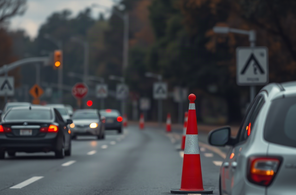
Emergency transportation planning after road closures means replacing a blocked route with verified, accessible travel options before moving people or vehicles. Confirm the closure location, identify who must travel, check fuel and vehicle limits, and compare at least two routes using official transportation or public-safety updates. Plans should account for bridges, low-water crossings, traffic bottlenecks, mobility needs, medical destinations, and communication failures. Avoid treating a navigation app’s fastest detour as proof that a road is open or suitable. Assign a departure trigger, primary route, backup route, passenger contact method, and stopping point where conditions can be reassessed safely.
What you’ll learn
This guide covers the following practical points:
- Assess the Closure and Transportation Needs — A useful response begins by defining the blocked segment rather than assuming an entire area is inaccessible.
- Build Primary and Backup Routes — Each necessary trip should have one verified primary route and at least one backup that does not rely on the same vulnerable road feature.
- Match Vehicles, Passengers, and Supplies — The available vehicle must fit the passengers, route, weather, and duration of the detour.
- Set Departure, Communication, and Review Rules — A transportation plan needs explicit triggers for leaving, waiting, switching routes, and canceling travel.
Assess the Closure and Transportation Needs
A useful response begins by defining the blocked segment rather than assuming an entire area is inaccessible. Record the closure’s known endpoints, direction of travel, reported cause, expected duration if officially available, and nearby intersections that may also be restricted. A bridge closure, for example, can remove every nearby crossing option, while a short urban closure may simply shift traffic onto parallel streets.
Confirm information through local transportation departments, emergency management offices, transit operators, law enforcement notices, or posted road controls. Navigation apps can reveal congestion, but user reports and automated routing may lag behind barricades, flooding, debris, or emergency access restrictions. A route appearing on a screen should not be treated as permission to pass a closure.
Next, identify the transportation mission. Moving a household to lodging is different from reaching dialysis, collecting a child, transporting livestock, or maintaining employee access to a worksite. Write down the destination, latest safe arrival time, passenger count, mobility or medical needs, vehicle availability, and whether the trip can be delayed. The common mistake is choosing a detour before establishing what the trip must accomplish.
Build Primary and Backup Routes
Each necessary trip should have one verified primary route and at least one backup that does not rely on the same vulnerable road feature. Two routes that cross the same river bridge, mountain pass, tunnel, or floodplain are not meaningfully independent. Trace each option from origin to destination and mark likely failure points, including construction zones, narrow roads, seasonal gates, steep grades, and intersections prone to gridlock.

Compare routes by suitability rather than distance alone. A longer arterial route may be safer for a passenger van than a shorter unpaved road with limited turnarounds. Public transit may be preferable when service remains active and parking near the destination is restricted. For someone using a wheelchair, the viable option must include accessible boarding, sufficient interior space, and an accessible destination entrance—not merely an open road.
| Decision Factor | Primary Route Check | Backup Route Check |
|---|---|---|
| Independent access | Avoids the confirmed closure | Avoids the same bridge, pass, or corridor |
| Vehicle suitability | Fits clearance, surface, and turning needs | Does not depend on unverified shortcuts |
| Fuel margin | Allows for delay and diversion | Includes a reachable fueling option if open |
| Reassessment point | Provides a safe place to stop | Allows return or onward diversion |
A route plan is failing when repeated closures appear ahead, travel time rises without a safe stopping option, fuel margin shrinks, or official notices conflict with the planned path. Do not improvise around barricades or enter water-covered roads. Return to the last safe decision point and activate the backup.
Match Vehicles, Passengers, and Supplies
The available vehicle must fit the passengers, route, weather, and duration of the detour. Check fuel or charge level, tires, lights, fluids, spare tire or inflation equipment, and the ability to carry required mobility devices. Electric-vehicle planning should account for chargers that may be unreachable, without power, occupied, or outside the revised corridor. Fuel-powered vehicles also need reserve capacity because congestion can increase consumption.
Keep the travel load focused on needs created by delay or separation: drinking water, necessary medications, charging cables, a power bank, paper maps, weather-appropriate clothing, basic vehicle tools, identification, and destination details. Medical equipment should remain secured and within reach where appropriate. Supplies cannot make an unsuitable road safe, so they should never justify attempting a hazardous shortcut.
Passenger assignments matter when several vehicles are available. Place a person who needs physical assistance with someone able to provide it, keep caregivers with dependents, and avoid splitting medication or essential equipment into another vehicle. If traveling as a group, set a destination and check-in procedure rather than requiring vehicles to remain bumper-to-bumper. Convoys can separate at signals and may create risky attempts to catch up.
The recurring failure mode is assuming the largest vehicle is automatically best. A high-clearance vehicle may handle rough surfaces but still be inappropriate for a narrow road, weight-limited crossing, passenger transfer, or long fuel gap. Choose according to documented route conditions and passenger needs.
Set Departure, Communication, and Review Rules
A transportation plan needs explicit triggers for leaving, waiting, switching routes, and canceling travel. A departure trigger might be an official evacuation instruction, loss of the final usable access road, a scheduled medical appointment that cannot be relocated, or a forecast condition expected to close a remaining route. Leaving without a trigger can add vehicles to congestion; waiting without a limit can remove safe options.
Assign one person to monitor official notices and another to communicate with travelers when possible. Share the destination, route, backup, vehicle description, passenger names, planned departure, and expected check-in time with an off-route contact. Paper copies are useful when batteries, cellular service, or data access fail. Avoid distributing changing instructions across multiple group chats without identifying which update controls.
- Before departure: verify route status, destination availability, fuel margin, passengers, and equipment.
- At the decision point: compare current conditions with the switch criteria.
- After arrival: report arrival and any newly observed obstruction through appropriate local channels.
- During a prolonged closure: recheck work, school, medical, and supply trips instead of using yesterday’s detour automatically.
Signs the process is working include consistent instructions, adequate travel margin, confirmed passenger accountability, and early route changes made at safe locations. Conflicting destinations, unreported departures, vehicles running low on fuel, or drivers searching for shortcuts indicate that coordination has broken down.
Worked Rerouting Example
Consider an illustrative household trip after a bridge closes between home and a medical clinic. The usual route is 12 miles each way. An official map shows a 22-mile arterial detour, while a navigation app suggests a 16-mile rural shortcut. The passenger uses a folding wheelchair, and the vehicle has enough fuel for about 90 miles under normal conditions.
The arterial option creates a 44-mile round trip. Adding a 20-mile operating margin for congestion, a missed turn, or a secondary diversion produces a planning distance of 64 miles. That remains within the illustrative 90-mile fuel range. The rural option is shorter, but its surface condition and creek crossing have not been verified. The arterial route is therefore the better primary route, while a second verified arterial approach should be identified as the backup.
The household should call the clinic before departure, confirm that the appointment and accessible entrance remain available, share the route with a contact, and select a safe parking area before the final approach as a reassessment point. If authorities close the detour or fuel consumption exceeds the planned margin, the traveler should stop safely and contact the clinic rather than trying the unverified shortcut. The calculation does not predict exact consumption; it exposes whether the plan has enough room for foreseeable disruption.
Frequently Asked Questions
How many alternate routes should a transportation plan include?
Use one primary route and at least one genuinely independent backup. Add another option when a single bridge, tunnel, pass, or flood-prone corridor could disable both.
Can a navigation app confirm that a closed road has reopened?
No. Apps may be delayed or based on incomplete reports. Confirm reopening through the responsible road agency, local emergency management, law enforcement notices, or on-site traffic controls.
When is sheltering in place better than taking a detour?
Waiting may be safer when the trip is not urgent, detours are unverified, weather is worsening, or authorities advise staying off roads. Immediate threats and official evacuation directions require different decisions.
What should travelers do if cellular service fails?
Carry written routes, contact numbers, destination details, and check-in times. Agree beforehand on a meeting place and the point at which an off-route contact should seek local assistance.
How often should a closure-related route plan be checked?
Check immediately before departure and again at designated decision points. For a closure lasting several days, verify conditions before every necessary trip because access, traffic, transit service, and destination availability can change.
Conclusion
Road-closure transportation decisions should be based on verified access, passenger requirements, vehicle limits, and independent alternatives—not the shortest line on a map. Document a primary route, a backup that avoids the same failure point, and clear triggers for departure or route changes. Before the next trip, verify the destination and road status, check fuel and equipment, brief every traveler, and establish a safe place to reassess conditions.